West Bank Barrier Reaches 456 Kilometers as 35th Anniversary of Berlin Wall Fall Approaches
Construction on the separation wall is 64 percent complete, with 85 percent of the route cutting through Palestinian territory rather than along the 1949 armistice line.
By Amit Chukwu ·
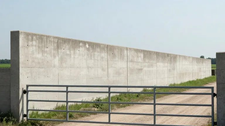
By April 2026, 456 kilometers of the Israeli barrier in the West Bank had been completed. The United Nations Office for the Coordination of Humanitarian Affairs reported that this figure represents 64 percent of the total planned route, which stretches 712 kilometers. The structure has been under construction since 2002, a project that continues despite a 2004 International Court of Justice ruling declaring the barrier illegal.
The wall's placement distinguishes it from other historical separation structures. Approximately 85 percent of the barrier's route lies within the West Bank, rather than along the international boundary. In urban areas, the concrete sections rise to approximately nine meters. This height is more than double the height of the Berlin Wall, which encircled West Berlin for 155 kilometers when it was built by East Germany in 1961.
The barrier is not a standalone structure but part of a wider network of movement restrictions. It operates alongside checkpoints, roadblocks, and permit systems that regulate Palestinian travel. Humanitarian agencies documented 925 such obstacles across the West Bank and occupied East Jerusalem as of December. These restrictions affect approximately 3.4 million Palestinians, forcing lengthy detours to reach work, school, or hospitals.
The composition of these obstacles has shifted over the last two decades. Checkpoints and road gates now account for nearly 60 percent of the total, a sharp increase from 15 percent twenty years ago. The physical barrier itself varies in design, featuring concrete walls in cities and a mix of fences, patrol roads, and ditches in other areas. This infrastructure cuts off specific communities, roads, and agricultural land from their surroundings.
Agricultural communities face specific hurdles due to the barrier's route. About 150 Palestinian communities have land in the Seam Zone, the area between the wall and the 1949 armistice line known as the Green Line. Access to these fields depends on permits and coordination with Israeli authorities. There are approximately 62 agricultural gates along the wall, yet most remain closed for much of the year. During the olive harvest in 2025, 74 percent of these gates were open only on limited days, disrupting farm work and livelihoods.
More than 14,000 Palestinians live in this Seam Zone. Residents in this area must pass through checkpoints to access basic services, markets, and relatives on the other side. In the city of Qalqiliya, the wall wraps around much of the urban area, isolating it from neighboring Palestinian communities and surrounding land. Journeys that were once short now require long detours or passage through security checkpoints, altering how communities interact with their local environment and farmland.
Crossing the barrier is a complex process for Palestinians. Of the 13 checkpoints on the wall, only three are accessible to those with West Bank identity cards and Israeli-issued permits for East Jerusalem or Israel. These permits have become increasingly difficult to obtain. Many have been revoked or suspended since the start of the conflict in Gaza in October 2023.
November 9 marks the 35th anniversary of the fall of the Berlin Wall. The date serves as an international day of action against Israel's separation wall. Activists in the West Bank point to the Berlin Wall's collapse as a precedent. One activist in Bir Nabala stated that like the Berlin Wall, the Palestinian wall will eventually fall. The barrier remains a central feature of life in the occupied territories, shaping the daily realities of millions.