El Niño Drives Above-Average Warmth Across Windsor-Essex
Meteorologists attribute the current heat spike to Pacific Ocean patterns, with November forecasts remaining above seasonal norms.
By Renata Mehta ·
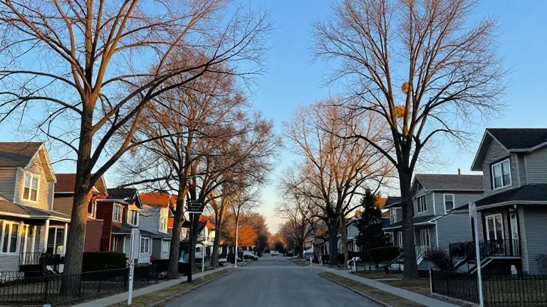
Residents of Windsor-Essex and Southwestern Ontario are experiencing a start to November that defies typical seasonal expectations. Daily highs have climbed well above the area's historical baseline, with recent readings reaching into the mid-teens. This warmth follows an October that already finished warmer than usual, extending a trend that has kept residents in lighter jackets longer than average.
Geoff Coulson, a Warning Preparedness Meteorologist for Environment Canada, identified the primary driver as a significant El Niño event occurring in the Pacific Ocean. Coulson noted that the unusually warm waters are influencing late fall conditions earlier than typical. He stated, 'Much warmer than normal waters in the Pacific, normally that has an impact on our late fall and winter weather, but I think we're already starting to see that impact right now.' This oceanic pattern is currently shaping regional temperature trends.
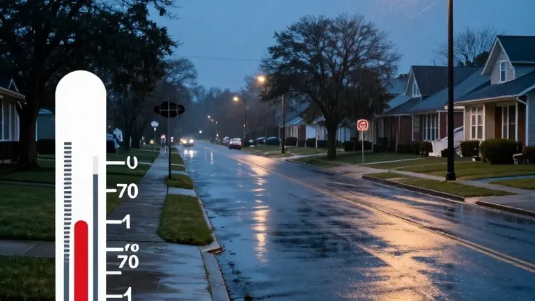
Current data shows a clear deviation from the local norm. The long-term average high for this time of year in Windsor is nine degrees Celsius, with overnight lows near two degrees. However, the forecast for the current week places highs at 12 degrees today, 16 degrees on Tuesday, and 13 degrees on Wednesday. Coulson explained that while temperatures are expected to return to seasonal levels by the end of this week, the outlook remains favorable for warmth. He added, 'We already do see by Sunday, maybe even into next week, temperatures bouncing back again, expected to be warmer than normal.'
Looking ahead, the overall forecast for the month suggests continued above-normal temperatures for the Windsor area. Coulson clarified that while the region will not see the high teens and low 20s recorded at the start of the month, the general trend will remain elevated. The specific magnitude of the heat may vary, but the directional trend points toward a warmer November compared to historical averages.
Weather conditions may shift slightly later this week. Environment Canada reports a 40 per cent chance of rain on Wednesday, followed by the same probability for showers on Thursday and Friday. Meteorologists are monitoring a developing system that could introduce precipitation into the warm pattern.