55%: The Statistic Pushing Tesla to Build Its Own Maps
Tesla is developing proprietary map data to address persistent inaccuracies in its Full Self-Driving system regarding speed limits and navigation.
By Imani Brooks ·
Tesla is pivoting to create its own proprietary map data to correct issues that have long plagued its Full Self-Driving (FSD) software, specifically regarding speed limit recognition, parking maneuvers, and route determination. The company’s Vice President of AI, Ashok Elluswamy, outlined the development of this new AI-based mapping and navigation architecture during the Q3 2026 earnings call, responding to shareholder concerns about the system’s continued reliance on third-party data.
The immediate impact for drivers will be felt with the upcoming FSD v15 release. According to Elluswamy, the new system will initially manage the beginning and end of trips. Over the subsequent months, the capability will expand to take over navigation, parking, and destination handling. Elluswamy acknowledged that the company “shouldn’t be depending on external people’s maps” and confirmed that the system will learn from the collective input of the fleet while also adapting to individual driver preferences and voice commands.
This strategic shift represents a significant reversal from the company’s previous public stance. In 2015, Tesla told Fortune it was building high-precision maps with “100 times the level of granularity” of standard navigation. However, by the 2019 Autonomy Day event, Elon Musk characterized high-precision lane maps as a “huge mistake” and a “really bad idea,” arguing that such reliance makes a self-driving system “extremely brittle.” The company had previously advocated for a vision-only approach to autonomy, dismissing external mapping and lidar sensors as unnecessary crutches.
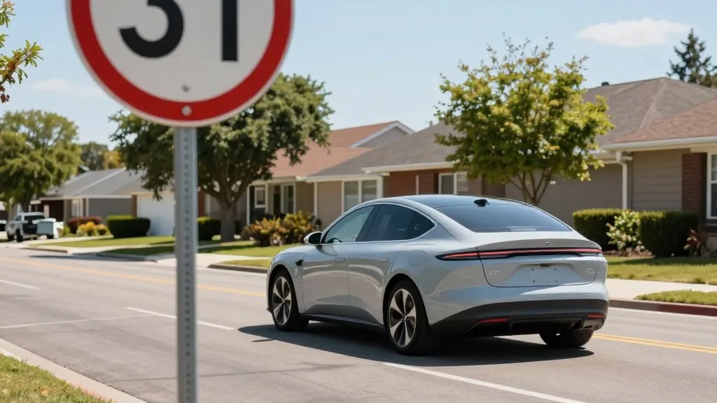
The company’s decision to build its own maps is driven by the need to correct environmental understanding failures that the vision system cannot resolve. A report from a Belgian road safety group found that FSD exceeded the speed limit in 55% of the 30 km/h zones tested in Brussels, with the vehicle’s display incorrectly showing a 50 km/h limit in most instances. Additionally, the National Highway Traffic Safety Administration (NHTSA) is currently weighing an investigation into claims that Tesla Robotaxis speed through active school zones in the United States.
While Tesla has historically criticized the use of high-definition (HD) maps, the company is now describing a process that closely mirrors the operational model of its primary competitor. Waymo maps cities by driving sensor-equipped vehicles through them prior to launching service and maintains these maps as its fleet operates. Tesla is now adopting a similar methodology where its vehicles collect environmental data to feed a Tesla-built map intended to improve driving performance for all cars.
This approach aligns with the current reality of Tesla’s Robotaxi service, which operates within small, geofenced areas on a city-by-city basis. Although Tesla is not currently discussing the creation of centimeter-level HD maps, the development of a map layer built by the fleet raises questions regarding the company’s previous assertions that a true self-driving system must operate without geofences or external maps. Tesla is now operating in geofenced areas and building maps, a combination that the company previously rejected as a viable path to full autonomy.
Source: Electrek