Cold Front Brings Relief to Central Florida Amid St. Johns River Flooding
A drop in humidity and cooler temperatures arrives Saturday while flood warnings persist in five communities along the river.
By Amit Chukwu ·
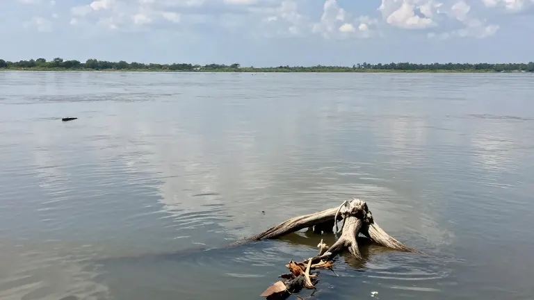
Central Florida residents can expect a break from the summer-like heat this weekend as a cold front sweeps through the region. The weather shift arrives just as water levels continue to rise in the St. Johns River basin following historic flooding earlier in the week.
A cool front is forecast to move through on Saturday. The passage will bring little to no rain, but it will shift winds to the north. This change will lower humidity and make the air feel more comfortable. High temperatures on Saturday will remain in the low to mid 80s.
Sunday offers mostly sunny skies and pleasant conditions. Highs are projected to fall into the upper 70s and lower 80s. The cooler pattern is expected to hold through the following week. Morning lows will drop into the upper 50s in areas northwest of Interstate 4, while other parts of the region will see lows in the 60s.
Rain remains unlikely for the immediate future. Monday and Tuesday are forecast to be mostly dry. Rain chances increase to 10% to 20% by Wednesday. Another weather disturbance could bring a higher chance of showers on Thursday, with probabilities around 30%. Forecasts indicate that severe weather is unlikely during this period.
Flood warnings remain active in five locations along the St. Johns River. These communities include Cocoa, Geneva, Sanford, DeLand, and Astor. Water levels are expected to continue rising for the next several days. Conditions will worsen before they begin to improve.
Beachgoers face dangerous conditions along the Atlantic coast. Rip current risk is high at all Central Florida beaches today and will persist through the weekend. Swells generated by non-tropical low pressure east of the Bahamas are keeping the surf hazardous. Sea heights are expected to build from 3 to 5 feet today to 4 to 6 feet by the weekend and into early next week.
The low pressure system east of the Bahamas is the primary driver of the rough surf. No tropical or subtropical development currently threatens Florida. The main local impact from this system remains the dangerous surf and strong rip currents along the east coast.